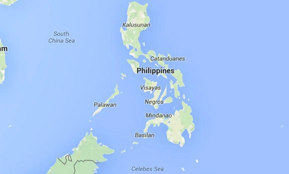
JEDDAH: More than 400 previously “unknown” islands in the Philippines have been found, the country’s environment and mapping officials say.
Environment Secretary Ramon J.P. Paje revealed this in his speech at the Philippine Environment Summit at the SMX Convention Center in Manila on Wednesday, according to a report of the Business Mirror.
Paje said the 400 islands were found in various parts of the country by the National Mapping and Resource Information Authority (Namria), raising the total to about 7,500, from the previously known 7,100.
Jose Cabanayan Jr., a deputy administrator of Namria, told Business Mirror that the “unknown” islands were detected with the use of a sophisticated gadget called Interferometric Synthetic Aperture Radar (IfSAR).
Cabanayan said that most of the additional islands were found in Mindanao, the southernmost of the three major island groups of the Philippines.
He said a landmass is considered an island “if it is above sea level and high tide at any given time, and can support either plant of animal life, or both.”
He explained that the new islands were previously believed to be part of a bigger island, but by using IfSAR, Namria was able to count them as separate land masses surrounded by bodies of water.
Of the previously known 7,100 islands, only about 2,000 are inhabited and some 5,000 have no names.
The Philippines are divided into three island groups — Luzon in the north, Visayas in the center, and Mindanao in the south.
The biggest island is Luzon, which is also considered the world’s 15th largest island at 109,965 square kilometers and 4th most populated.
Mindanao comes next as the biggest, followed by Samar, Negros, Palawan and Panay, Mindoro, Leyte, Cebu and Bohol, all in the central area of the archipelago.
Philippines has 400 more islands than thought — mapping agency